MAPS OF THE HOLY LAND AND JERUSALEM
From ancient times the Holy Land has been the focus of great attraction for both Jews and Christians and Muslims. Throughout the ages Jews and Christians have made pilgrimages to the Holy Land, envisaged scenes and stories from the Scriptures, and dreamt of it from afar. Many of them left behind them descriptions and studies of the Holy Land accompanied by views and drawings.
The Eran Laor map collection in the National Library of Israel contains about 1500 maps of Jerusalem and of the Holy Land from the beginning of print up to our days.
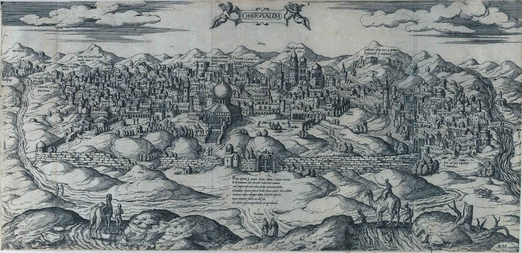
![Bertelli, map of Jerusalem, Venice, 16th century [156- ], NLI](http://gizra.github.io/CDL/pages/D4C41630-D4E6-107B-C285-E728DB90E00B/Bertelli, map of Jerusalem, Venice, 16th century [156- ], NLI.jpg)
Bertelli, map of Jerusalem, Venice, 16th century [156- ], NLI
Du Perac, map of Jerusalem, Rome, c.1570, NLI
